Overview
Students take a journey through Australia from an Aboriginal and Torres Strait Islander perspective. Explore the connections and knowledge of the natural world that enable them to find their way across country. Learn the significance of place names and reconnect with Indigenous place names and language groups.
Key inquiry question:
How do we learn about Aboriginal and Torres Strait Islander connections to places?
Exploring Australian Places
Humans have been exploring Australia’s land, seas and communities for tens of thousands of years. Aboriginal and Torres Strait Islander peoples moved across the land and seas to share culture and knowledge, to trade goods and to attend ceremonies. Today we travel for similar reasons, experiencing unique and wonderful places both in Australia and overseas. Students engage in the way Aboriginal and Torres Strait Islander people and non-Indigenous peoples travelled across Australia in the present and in the past.
Engage in the text Are We There Yet? by Alison Lester. The story of a family as they travel around Australia. Discuss the story emphasising the places the family visit, how they travel, the distances they travel and the time it takes to travel from place to place. Examine the maps in the story to guide the discussion. If this book is unavailable use texts with similar themes.
- Create a digital or a physical map of Australia. Add the title Place Names of Australia. Add your town and places that have been identified during our learning in exploring places, such as Broome and Kakadu in the texts My Home Broome by Tamzyne Richardson and My Home in Kakadu by Jane Christophersen.
- Follow and mark the route taken by the family in Are We There Yet. Identify the places they visit and record the place name on your map. Add the name of the Indigenous language groups using the AIATSIS map of Aboriginal Australia.
- As the family travel how do they acknowledge the places they pass? How do we acknowledge places? How do we Acknowledge Country? Learn more about Aboriginal and Torres Strait Islander peoples and how we Acknowledge Country.
Watch the stories of This Place – The Story Behind Aboriginal and Torres Strait Islander Place Names at ABC Indigenous.
If possible, select stories of places that are familiar or in close proximity. Mark these locations on your Place Names of Australia map and add the Indigenous language group name.
Learn songs in Indigenous language.
- Listen to the Marrin Gamu song sung in Australia’s first languages.
- To learn more access Marrin Gamu – Many Languages One Song resource at Narragunnawali.
- Explore other songs from Aboriginal and Torres Strait Islander language groups across Australia online or from First Languages Australia.
- Accompany songs using Indigenous instruments such as clap sticks, seedpod rattles and gum leaves. Learn how to play the gum leaf with Uncle Ozzie Cruze (Vimeo 1:57min).
Finding our way
For as long as people have moved from place to place, we have needed safe ways to find new places and to find our way home.
From Google maps, to memory maps and navigating by the stars we explore the many ways of finding our way. Students will explore ways of navigating through places. We learn how strong connections and understanding of the natural world; our environment and the night sky, can provide many clues to where we are and where we are going.
Engage with the text Bush Tracks by Ros Moriarty that uses clues given in the landscape, seasons, weather, the stars, the moon and the sun to navigate bush tracks. Discuss the visual elements used in the text and how features help us to find our way. If this book is unavailable use texts with similar themes.
How can we find our way using maps?
- Identify the ways the family in Are We There Yet? find their way around Australia. Locate images from the book that represent navigation tools.
- View different types of maps; digital maps, large and small scales, road maps and picture maps to identify the information they provide for finding locations.
How can we find our way using nature?
- Go on a walk around your school identifying features such as pathways, trees, gardens, grass and water.
- Establish a walking trail that you use to move around the school, perhaps the trail from your classroom to where you eat lunch.
- Identify the features you pass as you go and record these to memory.
- When you are ready, guide your partner along the trail using the identified features as your landmarks (waypoints) and the correct directional language.
- Create a memory map of your trail. Recreate your map through the creation of an ephemeral nature map. Find natural materials in your school such as sticks, leaves and pebbles that will represent the features from your trail. Once you have finished, photograph your map and create a class display.
How can we find our way at night?
- Engage with the night sky as you listen to Stars in Arabana, an episode from Little Yarns on ABC Listen. Observe the night sky, at home or online to become familiar with the stars and moon.
- Research the names and shapes of constellations and try to identify them in the night sky.
- Investigate the constellations that guided travellers in the past. Can you identify the Dark Emu in the Sky?
- Create star charts and hanging mobiles of the constellations you identify. (example? Or remove)
A significant journey
In Australia before cars, trains or aeroplanes, Aboriginal and Torres Islander peoples walked from place to place.
They travelled for many reasons including attending ceremonies with other language groups to share food, culture and knowledge. Students will learn more about the journey taken to the Bunya Nut ceremony in Kabi Kabi on the Sunshine Coast of Queensland. It was attended by people from places far away.
Connect students with journeying to different ceremonies as they recall significant events or celebrations they have attended with family and friends.
Identify the event/ celebration and describe the experience of the event. Where, when, how and why did you go? Communicate stories with the class.
Conduct research into the Bunya Nut ceremony; the purpose of the event, the participants, the distance language groups travelled and what happened at the event. Compare the ceremony with events you have attended.
View the star map that may have shown the way to the Bunya Nut ceremony at Australian Indigenous Astronomy.
The stars mirror the landscape showing the waypoints and directions to take.
Discuss what type of knowledge and skills would be required to travel through the environment.
Consider how you find food and water, how you communicate with other language groups and how you navigate through the landscape.
The Bunya ceremonies stopped in 1901 but after many years it is being revived.
Learn more at ABC News: Ancient Aboriginal tradition celebrating football-sized bunya gets revival in Queensland and explain why this is important for Aboriginal people.
Communicating journeys
Communicate your learning with story maps.
Create a story map for a journey to a real or imaginary special ceremony. Use the appropriate scale map for your students, large-scale maps can be used for younger students. Locate the place you will be travelling to and tell the story of your journey. Explain what you see along the way, the landscapes you pass and how to find your way. Share your story maps with the class.
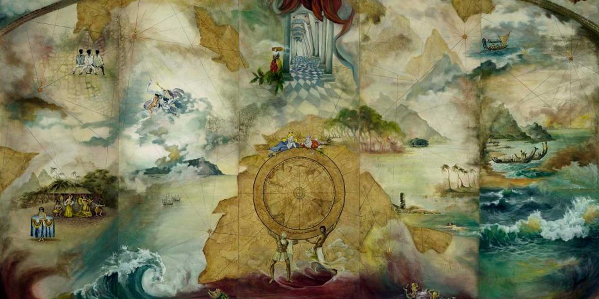
Main image: Colonial Wallpapers - Pacific Encounters, © Helen S Tiernan, 2017. ANMM Collection V00055114