Overview
For as long as people have moved from place to place, we have needed safe ways to find our way. Discoveries in navigation and advancements in technology have provided modern travellers with safe and reliable methods of navigation, but it wasn’t always like this. Explore the different ways people have travelled over the land and seas from the ancient past to modern satellite technologies.
Key inquiry question:
How do people find their way?
Indigenous astronomy
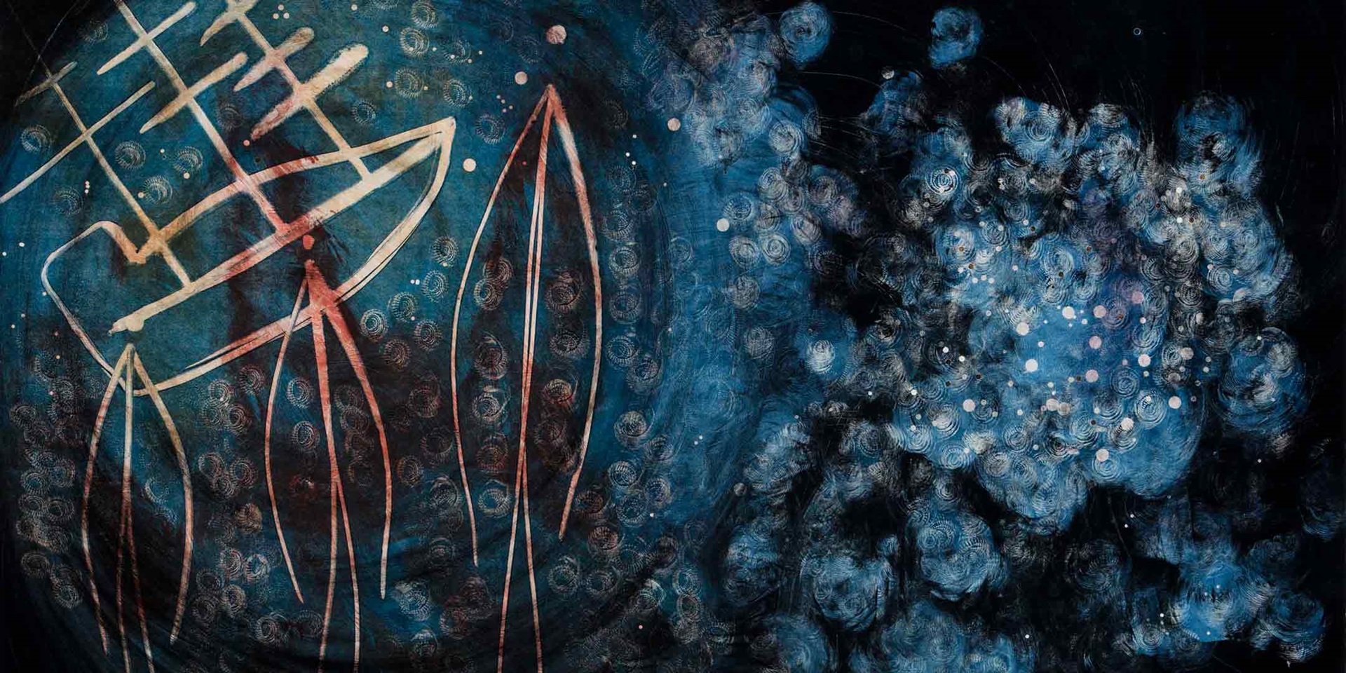
Indigenous astronomy was a way of finding a way across Country. Yet it is more than just a map. The stars and constellations inform Aboriginal and Torres Strait Islander peoples about creation, the seasons and the patterns of behaviour of the living world and are a connection to the past, present and future.
View the artworks Constellation by Gail Mabo and Kulba Yadail (Old lyrics) by Billy John McFarlane Missi. Engage in the 'see think wonder' routine to develop questions about Indigenous Astronomy.
Engage with Indigenous astronomy in the blog What is Indigenous astronomy? We spoke to two experts to find out by Laura Signorelli. What questions does it raise?
Explore further with Australian Indigenous Astronomy a website containing stories, videos, images, star maps and teaching resources in astronomy that link to the Australian Curriculum.
Use the star maps and planispheres to appreciate and respect Aboriginal and Torres Strait Islander people’s skills and knowledge of the natural world.
European navigation
Navigation in the Age of Exploration was underpinned by celestial navigation. Celestial navigation was the practice of fixing positions using measurements and angles between celestial bodies (sun, moon and stars) and the horizon. As ocean trade and the quest for new discoveries increased, more advanced techniques and technologies were required for ocean voyaging. Advancements in navigational systems are still being made as we continue our explorations of earth and into space.
Students investigate the early methods of maritime navigation used by explorers in the 1700s.
As a class watch the video Longitude and Latitude Explained (Vimeo 2:33mins) to engage with early maritime navigation. The video raises questions about how ships find their way at sea using longitude and latitude. Develop questions about how you can identify location using latitude, how you can determine longitude and the difficulties faced by early explorers in finding both their latitude and their longitude.
Conduct research into the skills, knowledge and equipment used during the Age of Exploration for maritime navigation.
- Carefully examine the 1602 Blaeu celestial globe. Identify the purpose of the globe and conduct research into how the stars and constellations were used for navigation.
- Tupaia, a Tahitian navigator and high priest helped Cook travel from Tahiti to New Zealand by his great skill in celestial navigation. He was able to memorise the star maps to find his way. Learn more about Tupaia at the British Library website.
- View the sextant and octant, equipment invented from the late 1700s. Explain how the equipment was used to measure the angles between the celestial bodies (sun, moon and stars) and the horizon to help identify latitude and longitude.
- Learn more about Cook and the navigation techniques and technologies that were used on Endeavour with the ABC Digibook, James Cook Finding Your Way.
Main image: Constellation by Gail Mabo, 2014. © Gail Mabo / Licensed by Copyright Agency, 2019 ANMM Collection 00054564