Posted on by

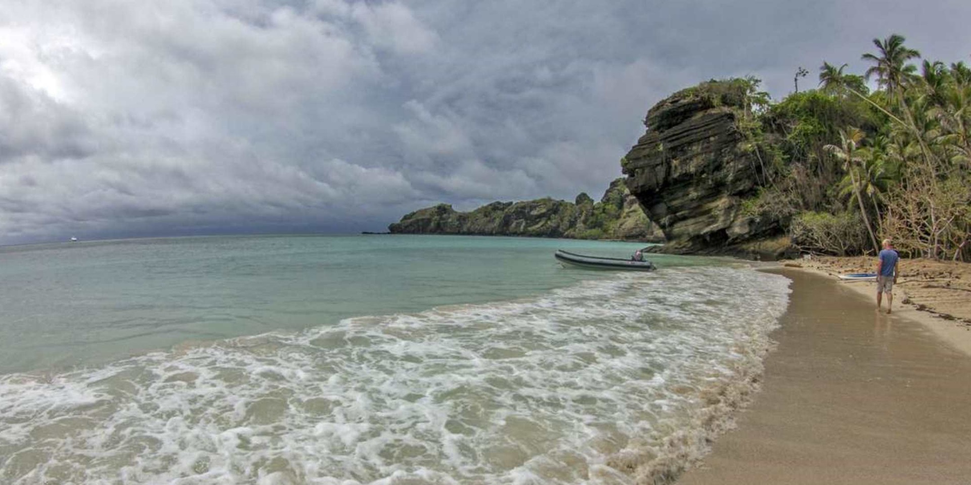
After a six hour voyage punching through 3-metre high seas created by the 40 knot North-westerly wind The Boss, with Maggie II in tow, passed through Hibernia Passage. We arrived at the anchorage on the north-western side of Mer Island at the eastern entrance to the Torres Strait. Mer is the largest of three islands (the others being Dauar and Waier) that were formed by the collapse of the crater of an extinct volcano many thousands of years ago.

Home to the eight clans that make up the Meriam People, the group of islands (formerly known as the Murray Islands) and their surrounding reefs are divided up and controlled using traditional laws of land and sea boundaries made famous in the High Court of Australia’s Mabo Decision.

Map of Mer showing traditional land boundaries and clans

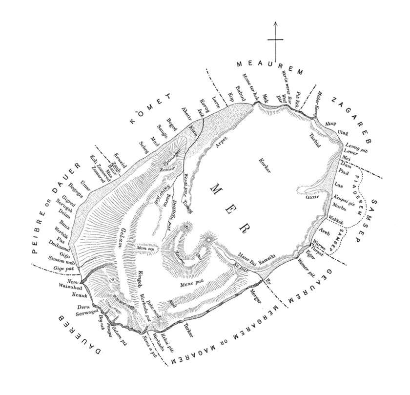
Map of Mer showing traditional land boundaries and clans from Reports of the Cambridge Anthropological Expedition to Torres Strait (Alfred C. Haddon, 1908).

Although more sheltered than Ashmore Reef, the anchorage at Mer was still exposed to the strengthening North-westerly wind. After first seeking and getting permission from the Mer Island Community Council, the skipper took The Boss around to the south-western side of Waier Island where the anchorage was protected by the 30+ metre high walls of the former crater.

Here we settled in for what could be a protracted stay.

Find out more in part seven of the Ashmore Reef Expedition series.

Kieran Hosty
Manager – Maritime Archaeology Program

Read more about the Australian National Maritime Museum’s maritime archaeology program.

kieranhosty

Kieran Hosty

I started diving in Western Australia in 1976 and after a few years of mucking around on shipwrecks joined the Maritime Archaeological Association of Western Australia in order to try and make sense of what I saw on the seabed. My love of diving and maritime history made me pursue a graduate degree in history and anthropology from the Western Australian Institute of Technology followed a few years later by a post graduate diploma in maritime archaeology from Curtin University also in Western Australia. After 18 months as an archaeological field volunteer I took up a position with the Maritime Archaeology Unit at the Victoria Archaeological Survey. I was the Commonwealth Historic Shipwrecks Officer in Victoria for six years before coming to the Australian National Maritime Museum in 1994 to take up the position of Curator of Maritime Archaeology and Ship Technology. At the Museum I was responsible for the Museum’s maritime archaeology program as well as curating the Museum’s collection relating to convicts, 19th century migrants and ship technology. My expertise in convict related material was further enhanced, when I took up a temporary position as Curator / Manager of Hyde Park Barracks Museum for eighteen months in 2004 followed by a further 18 month contract at the Barracks where I curated an exhibition on the history and archaeology of convict hulks and another on the World Heritage listing of Australian convict sites. In 2012 my role at the Museum shifted focus when I became the Manager – Maritime Archaeology Program – reflecting an increased emphasis on the importance of the maritime archaeology program at the Museum. I have worked on many maritime archaeological projects both in Australia and overseas including the survey and excavation of the Sydney Cove (1797), HMS Pandora (1791) and HMCS Mermaid (1829), the Coral Sea Shipwrecks Project (sponsored by the SiILENTWORLD FOUNDATION and the ARC) and the hunt for Cook’s Endeavour in the USA. I'm the author of the book Dunbar 1857: Disaster on our doorstep, published by the Museum along with two books on Australian convicts and 19th century migrants published by McMillan.